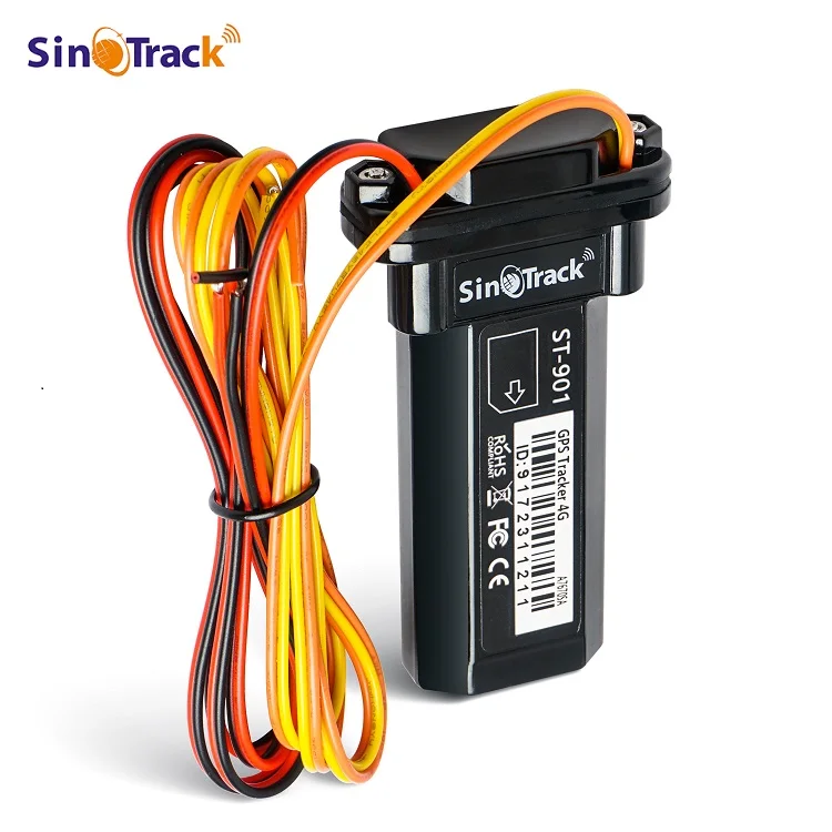
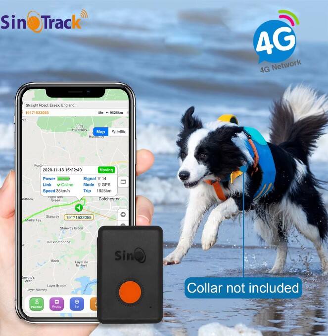
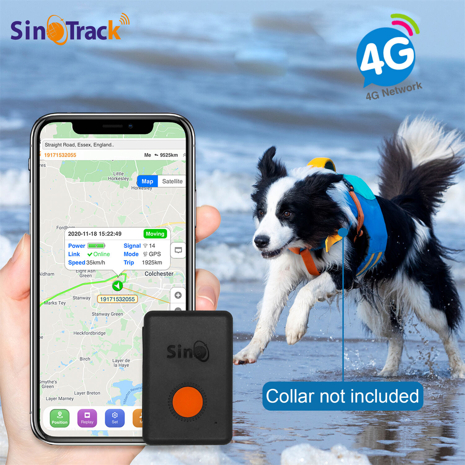
Comprehensive Geofencing and Alert System
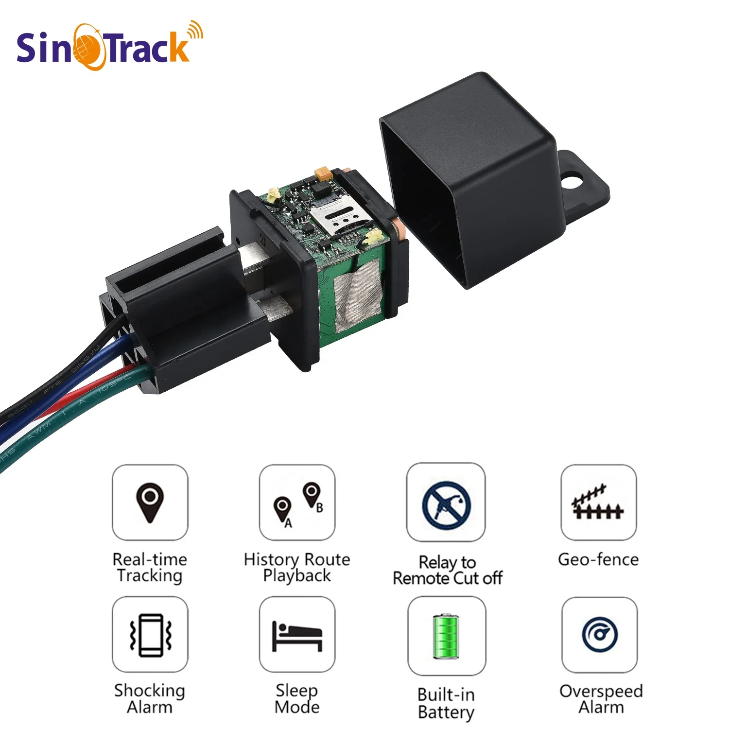
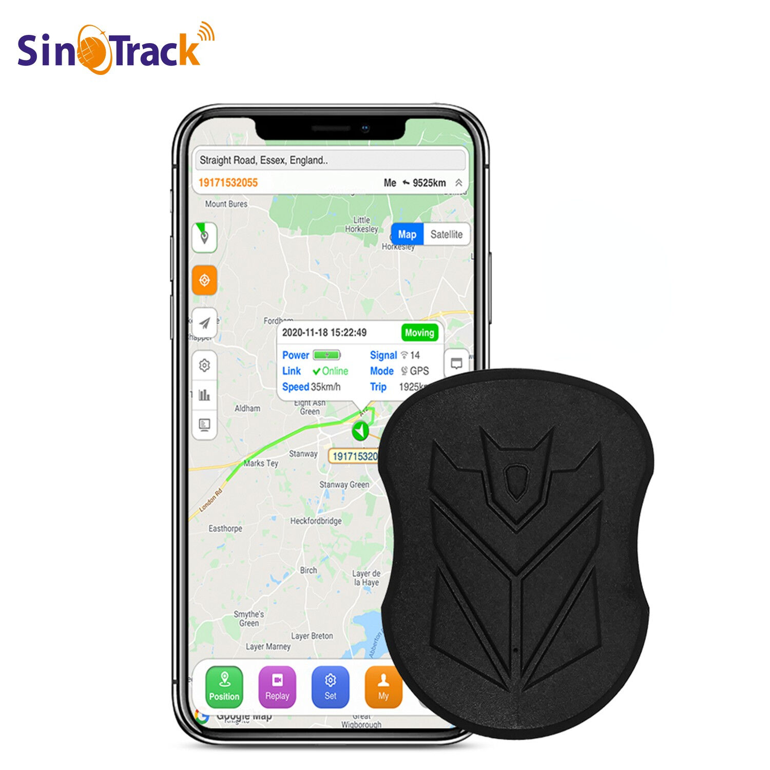
The intelligent geofencing and alert system represents one of the most valuable features of modern GPS tracker technology, enabling users to create virtual boundaries around specific geographical areas and receive instant notifications when tracked subjects enter or exit these predetermined zones. This sophisticated capability transforms passive location monitoring into proactive security management, allowing parents to ensure children arrive safely at school, employers to verify employee presence at job sites, and fleet managers to monitor vehicle operations within designated service areas. Users can establish multiple geofences of varying sizes and shapes, from small circular boundaries around homes or schools to complex polygonal areas encompassing entire neighborhoods, business districts, or delivery routes. The GPS tracker system continuously monitors location data against established geofence parameters, triggering immediate alerts through multiple communication channels including push notifications, SMS messages, emails, and automated phone calls to ensure critical information reaches users regardless of their current communication preferences or device availability. Advanced scheduling features allow geofence rules to operate during specific time periods, accommodating different monitoring requirements for weekdays versus weekends, business hours versus after-hours periods, and seasonal variations in tracking needs. The alert system includes customizable notification templates that provide detailed information about geofence events, including timestamp data, specific boundary names, duration of stays within zones, and accompanying location coordinates for precise reference. Integration capabilities enable geofence alerts to trigger additional security measures such as activating surveillance cameras, locking or unlocking vehicle systems, or initiating automated customer service communications in commercial applications. Historical geofence data creates valuable analytics about location patterns, helping users identify trends, optimize boundaries, and improve safety protocols based on actual movement behaviors rather than assumptions. Emergency geofencing features can establish temporary high-priority zones during specific situations, such as natural disasters, security threats, or search and rescue operations, ensuring enhanced monitoring capabilities when safety concerns escalate beyond normal operational parameters.