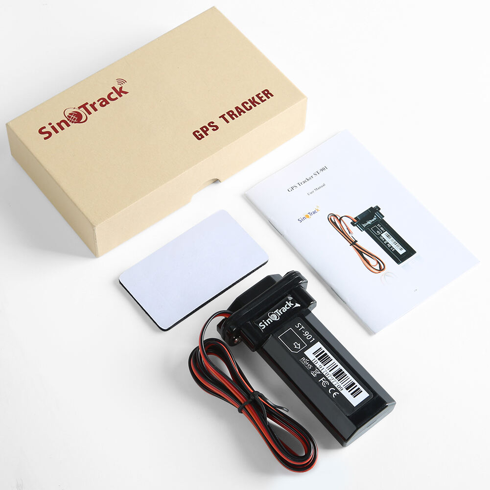
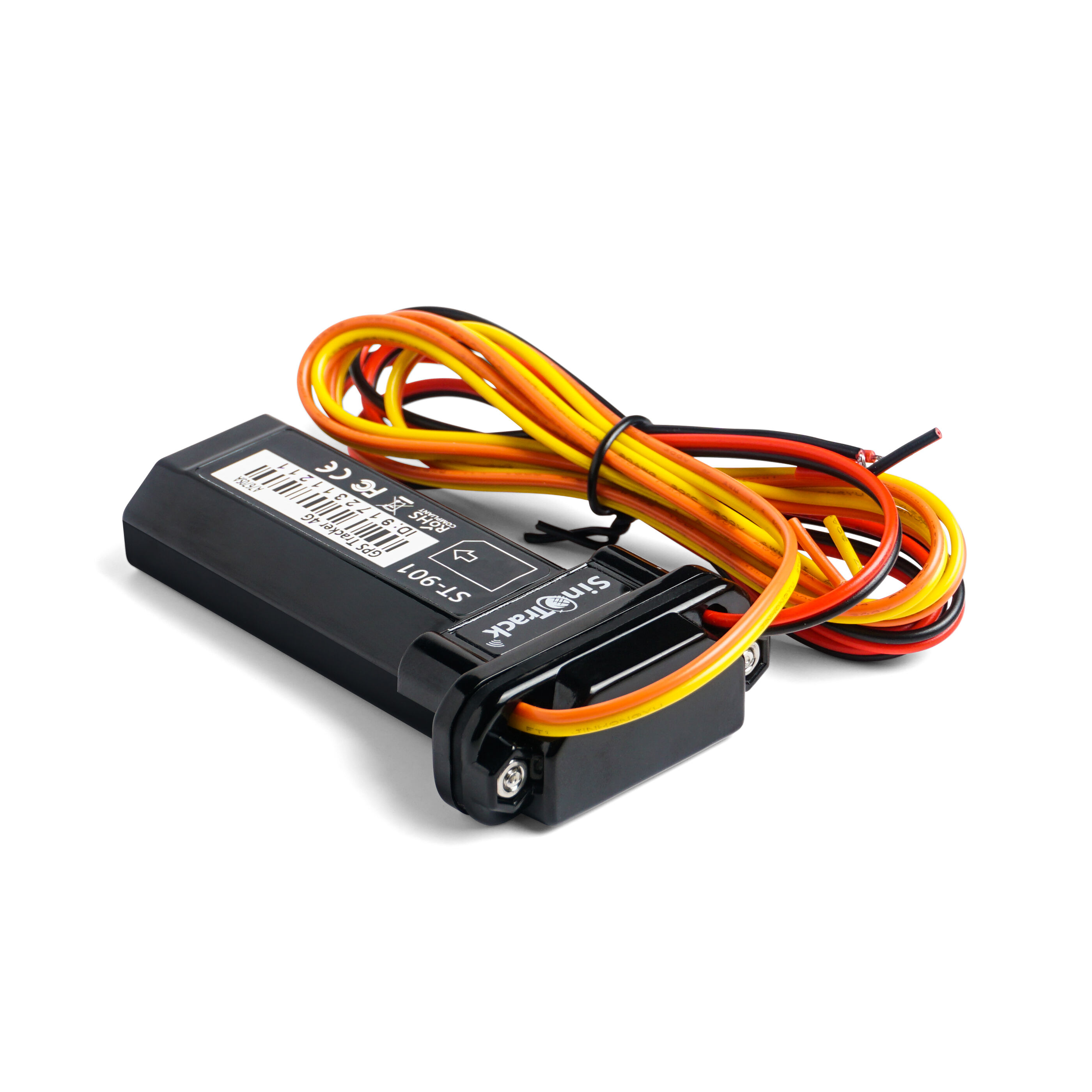
Advanced Real-Time GPS Tracking Technology
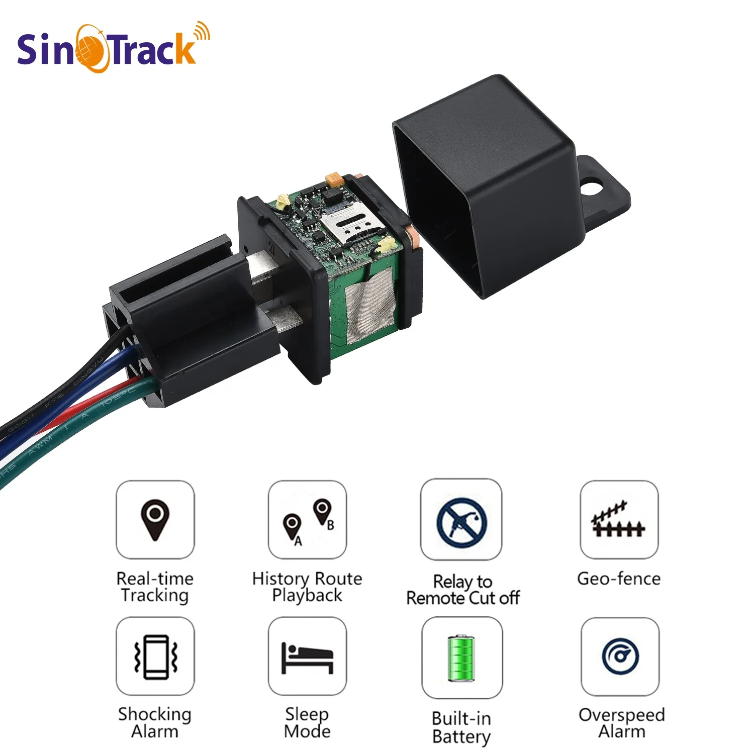
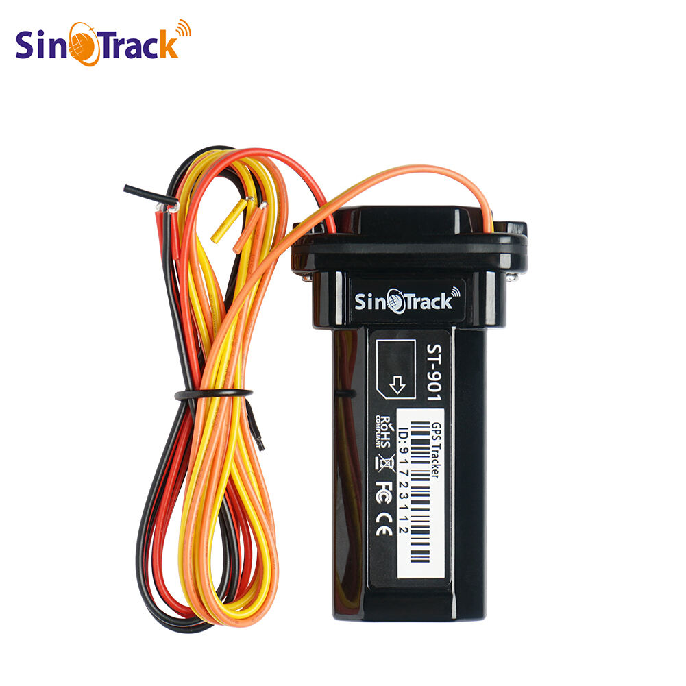
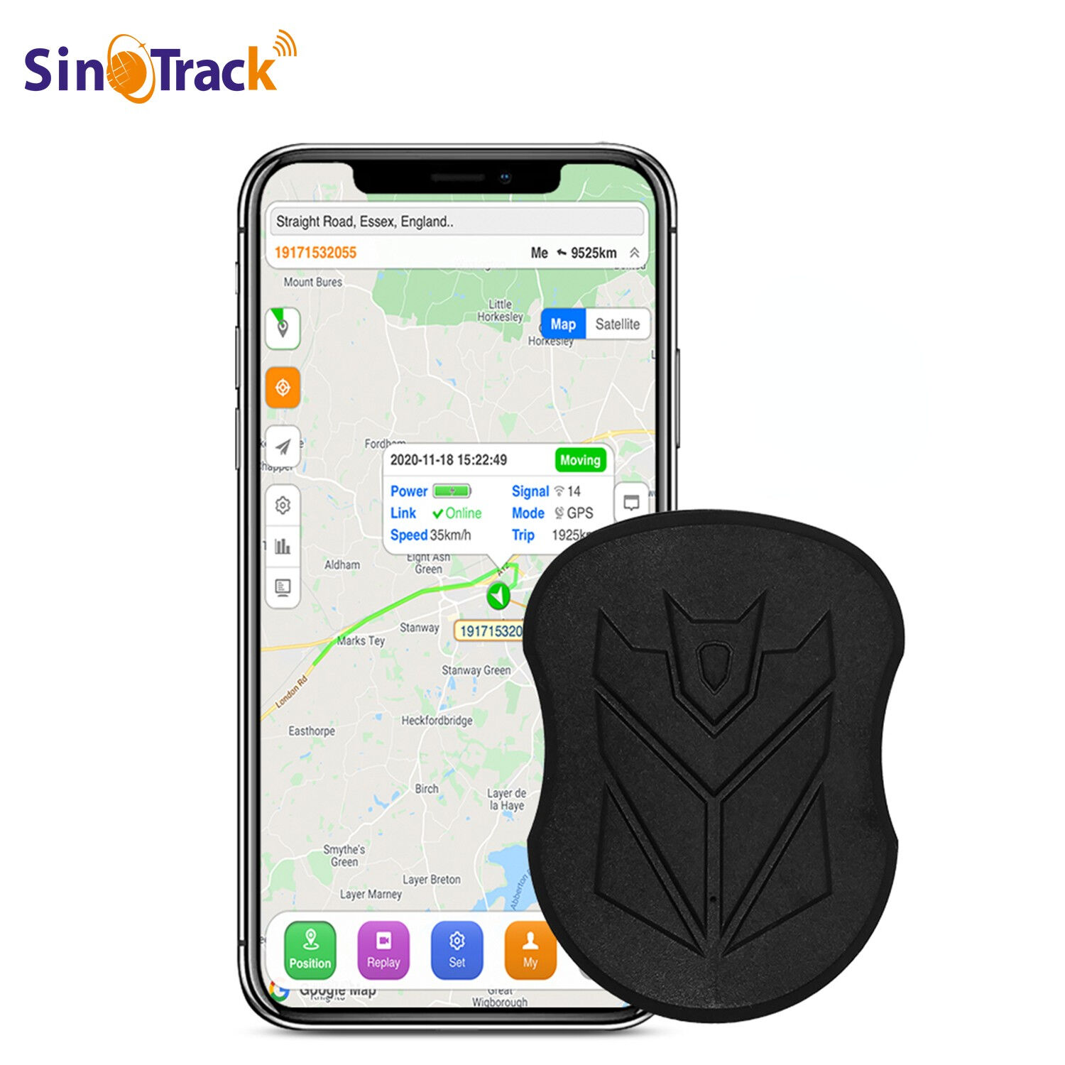
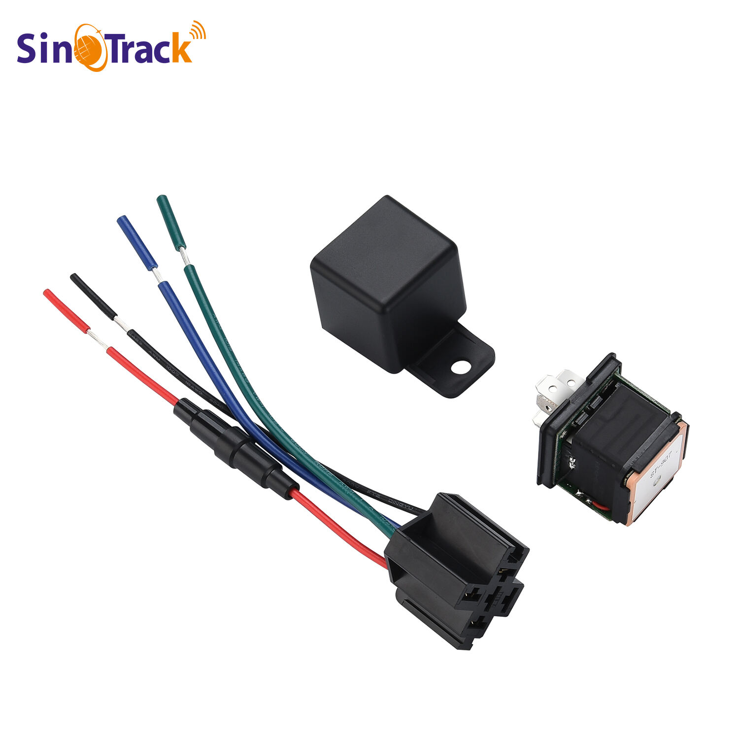
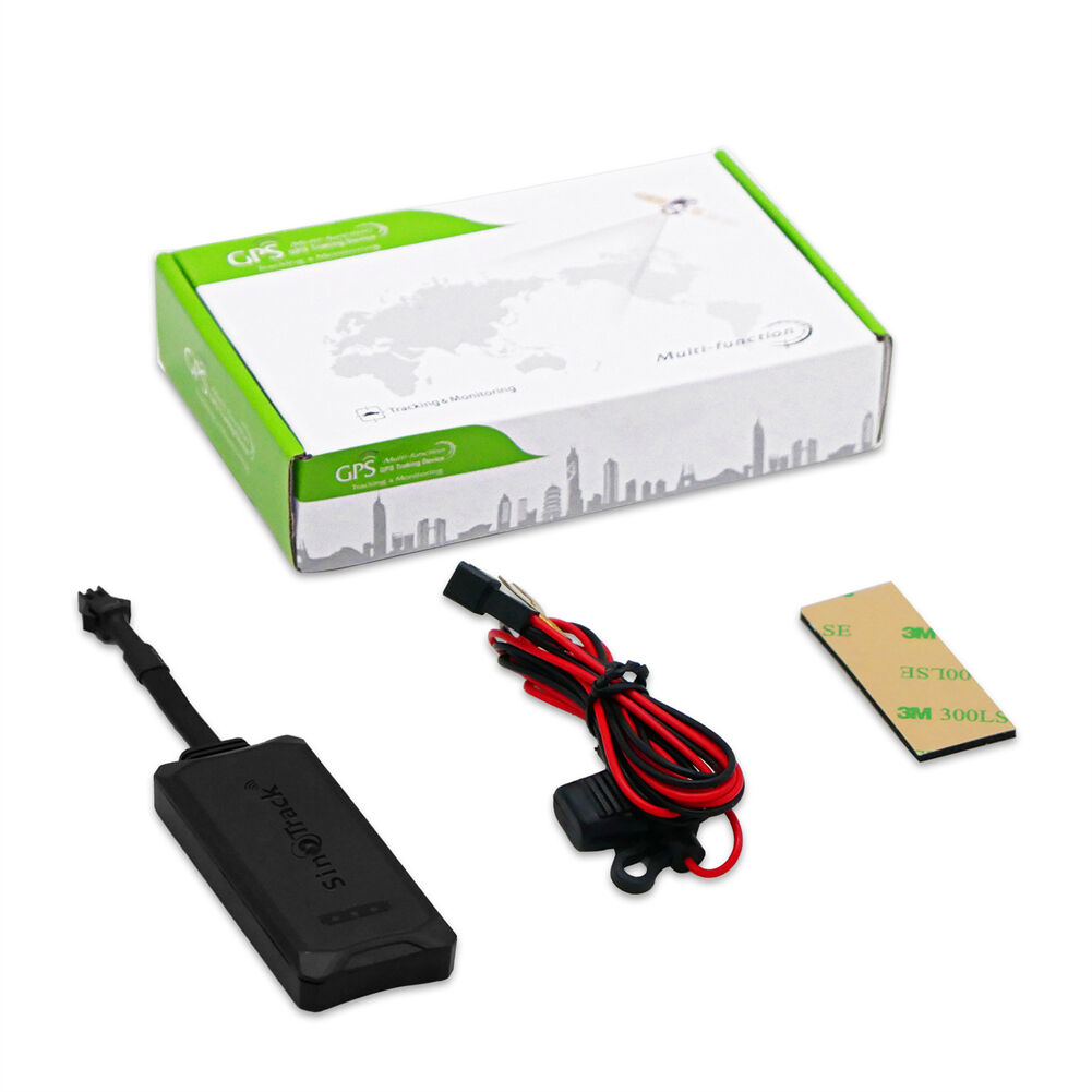
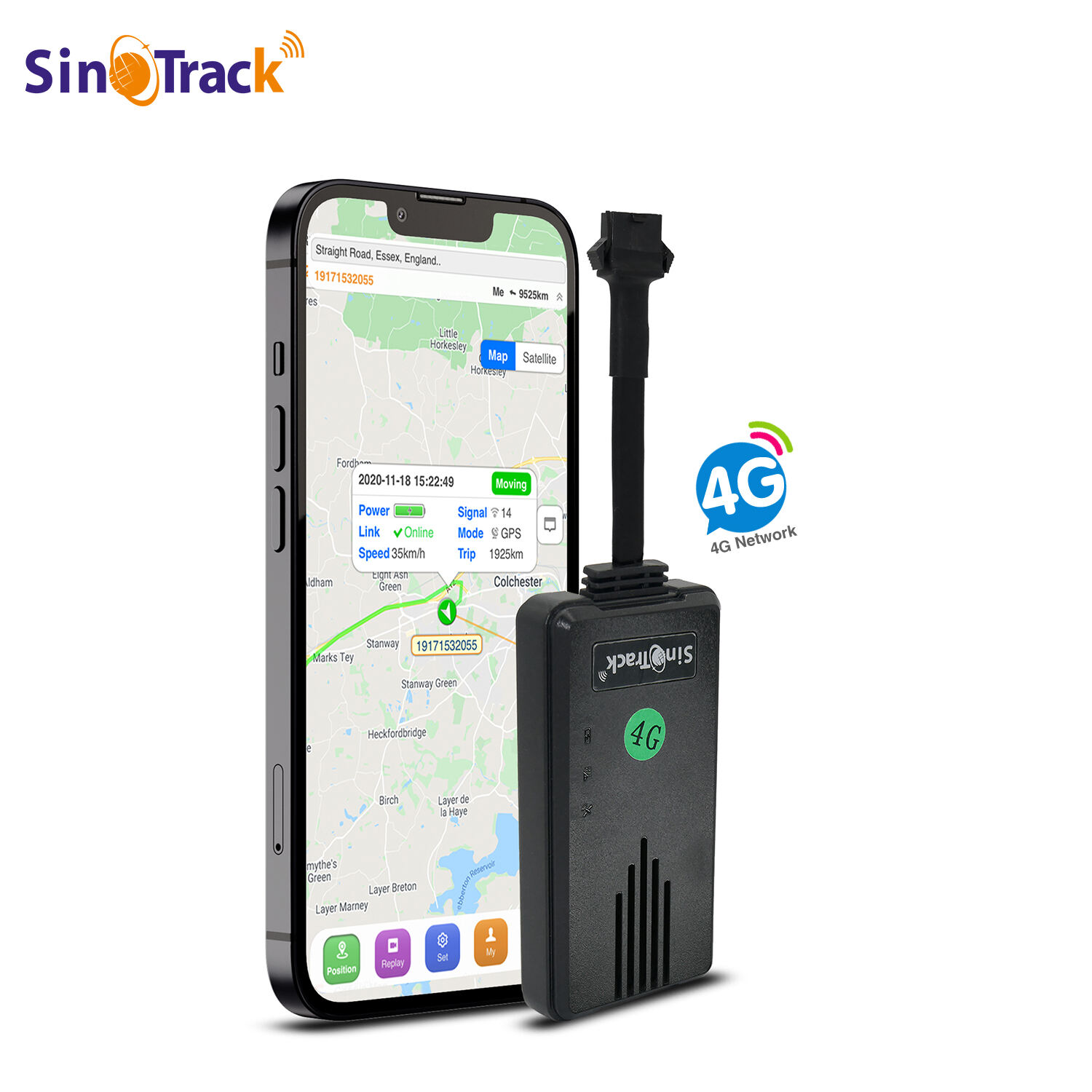
The best magnetic car tracker incorporates state-of-the-art GPS satellite positioning technology that delivers unparalleled accuracy and reliability for vehicle monitoring applications. This sophisticated system utilizes multiple satellite constellations including GPS, GLONASS, and Galileo to ensure consistent signal reception even in challenging environments such as urban canyons, dense forests, or mountainous regions where traditional single-satellite systems might experience signal degradation. The advanced positioning algorithms process signals from multiple satellites simultaneously, calculating precise coordinates with accuracy levels typically within one to three meters of the actual vehicle location. Real-time tracking capabilities mean location updates are transmitted instantly to your smartphone or computer, enabling immediate response to theft attempts, unauthorized vehicle use, or emergency situations requiring rapid location identification. The tracking frequency is fully customizable, allowing users to select update intervals ranging from every ten seconds for high-security applications to every several hours for battery conservation during long-term monitoring scenarios. The best magnetic car tracker features intelligent tracking modes that automatically adjust update frequencies based on vehicle movement patterns, providing frequent updates during active driving periods while conserving battery power when the vehicle remains stationary. Historical tracking data is stored securely in cloud-based servers, creating comprehensive travel logs that include timestamps, routes taken, stops made, and duration of stays at specific locations. This valuable information proves invaluable for fleet management, mileage verification, insurance claims, and legal proceedings requiring detailed vehicle movement documentation. The tracking system supports geofencing capabilities that allow users to establish virtual boundaries around homes, schools, workplaces, or restricted areas, triggering immediate alerts when vehicles enter or exit these designated zones. Advanced mapping integration displays real-time vehicle positions on detailed street maps, satellite imagery, or terrain views, providing clear visual representation of vehicle locations and movement patterns. The system maintains tracking accuracy even at high speeds, making it suitable for highway travel, racing applications, or emergency vehicle monitoring where precise location data remains critical regardless of velocity.